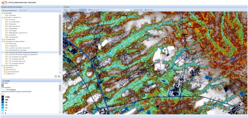
The ECOPLAN webviewer
A "map catalog" which shows different aspects for each ecosystem service (demand, actual demand, potential demand, valuation, performance indicators). The website www.ecosysteemdiensten.be/geoloket makes it possible to view the map layers to obtain high-resolution images through the Web viewer and also access the necessary information about the metadata of these maps. In time, we will make these maps available for download. Also the QGIS plugins to calculate these maps will become available.
