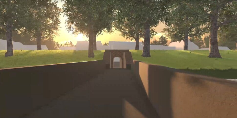
In close cooperation with Regionaal landschap de Voorkempen, Visual Dimension and the City of Antwerp, embedded within the RFC Interreg project, the Centre for Urban History (UA) aims to build a VR application 'VirtuaFort'. This application includes Fort Lillo and its immediate surroundings. Hereby, a historically correct 3D-reconstruction of the fort in the 17th century is brought to life by means of immersive technology. At the same time, various storylines will be linked to the fortress, in order to enthuse both inhabitants and local and sustainable tourism about this unique location. The VR application will also make it possible to switch between the past, the present and the future plans for the fortress. The application will be launched publicly in June 2022, after which a possible expansion towards other sites will be investigated.
Virtual technology makes it possible to bring atmosphere to 3D in otherwise sterile 3D visualizations. Think of a number of powerful optimization techniques that allow a number of virtual phases to be visualized in real-time and animated with extensive visual effects such as wind, shadows, reflection on water, weather system and day-night cycle (see for example https://youtu.be/cbTIIXgw9Tw and https://youtu.be/JerOd0VE1HY).
Responding to the policy plan and the innovative waterline, special attention will go to the water aspect in the project as in the context of the Sigmaplan it is the aim to clearly visualize and substantiate the proposed measures in an interactive way for example by visualizing the new and higher dikes and important infrastructural interventions such as lock gates, ramps … interventions that will have a certain impact on the fortress and the protected heritage site. The tool will make a visualisation of virtual flooding possible and the water aspect will be visualised in the virtual reconstruction of the fortress – also the former and recovered bastions and ramparts can be filled again with water of the river Scheldt.
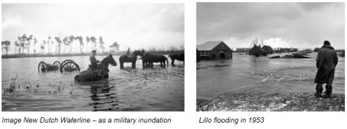
There is one last special aspect of water in this story that will be integrated - as water was used during wars in a certain strategy as extra defence against enemies – as military inundations. Large areas of the landscape and fields around the fortress were deliberately flooded to cut off possible enemy attacks.

Virtual technology for resilient fortification heritage is part of:
