Past - Present - Future
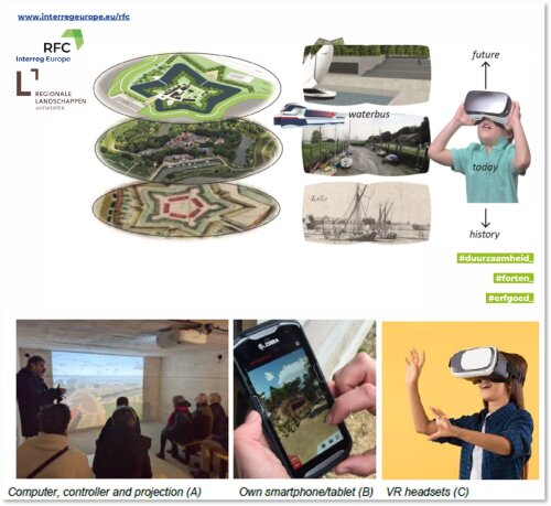
The pilot action describes a prototype 3D conversion with Time Machine functions and allows to provide different target groups with a visualization of the past, present and future of fortresses as this will be tested in Lillo Fortress.
Past
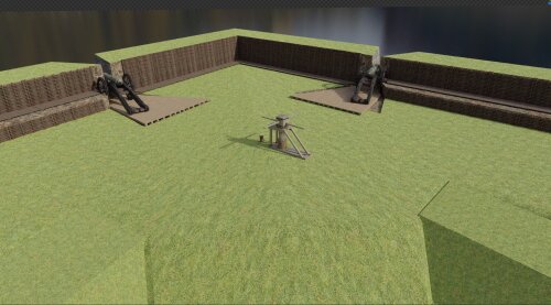
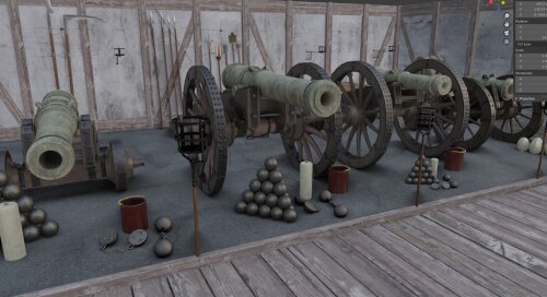
The historical reconstruction has already been described as far as the 2D version is concerned. For Lillo from the past the situation around 1650 has been reconstructed as a high quality reconstruction of the fortress itself (including surrounding village and landscape), based on information from historical research supervised by the University of Antwerp (PI/supervisor Iason Jongepier and co-supervisor Tim Soens). This reconstruction consists of habitation and inhabitants, a number of specific military and civil buildings and especially the fortifications. The information will be based on the available archive material (historical maps, iconographic material, land and taxation registries, written sources, …) and existing literature as the work of Han Leune (https://hanleune.nl/de-forten-lillo-en-liefkenshoek). The main objective of this reconstruction is to provide a first step for the situation of 1639, further refined and detailed on the basis of historical research. This reconstruction will be completed with the correct dimensions and geo-references. GIS will be used for this, since the historical plans themselves usually have no geolocation (referring to present day coordinates). Through the technique of spatial correlation, the historical maps will be turned into vector maps, and connected to data on civil and military occupation, inhabitants, activities. As such, this reconstruction becomes a virtual world with vegetation, ambient noise, day-night cycle and weather system that can be experienced.

Present
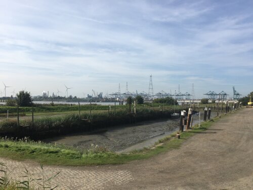
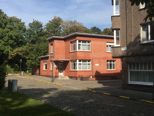
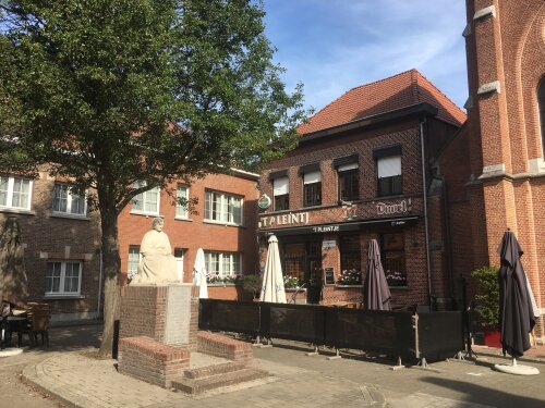
For the current situation in Lillo, a number of panoramic photos (360° images 8k, including recorded sound on-site) are taken at selected locations that depend on the zones that are specifically visualized in the past, present and future. The panoramic photos are measured by GPS and are brought into the system with exact location and orientation with maximum connection with the other time phases (history-future). Another option is 360-degree video.
Future
For the future of Lillo, the most recent plans will be imported in 3D and converted into an experienceable 3D virtual world, including vegetation, ambient noise, day-night cycle and weather system. This virtual world is correctly dimensioned and georeferenced. To catch a glimpse look here: https://www.youtube.com/watch?v=I6hYiWq3Xog
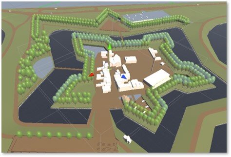
The core of this Time Machine experience is that these three phases can seamlessly merge into one another so that people can instantly compare the past, the present and the future with each other. This is useful because, for example, in the planned phase, structures from the past can be reconstructed or referenced, so that the historical situation can flow into the planned situation. This is possible due to the extensive georeferencing of each of the phases.
The historical and future situation can be interactively explored at will without any spatial restriction, but to help people exploring, there is implementation of "walking trails" for example visualized as a white line. The locations of the recorded present situation are situated along these lines. Hence you stand at a location in the present, switch to the past or the future and walk around. In a future version of the system, after recording 360° video of the site by drone, you will be able to walk virtually through the present along these paths and see both the past and the future at any point. See example of this walking trail system for a virtual reconstruction of Eename in 17th century https://www.youtube.com/watch?v=_fPq4EcWl2c